


 Ban & Monetization Policy
 MyLiveRoom Rewards Program Rules & Eligibility
How Public Safety Drones Are Changing the Way First Responders Work
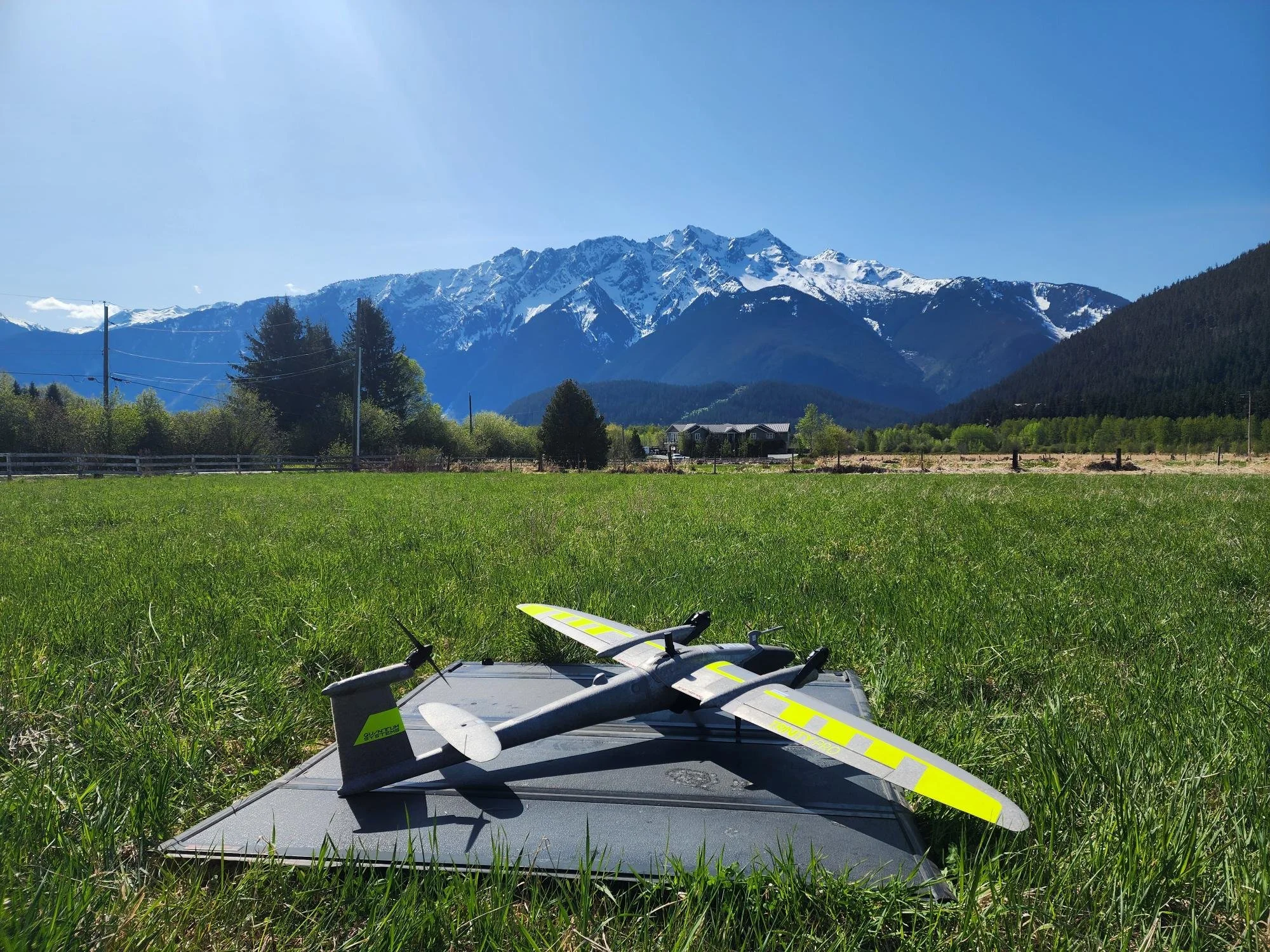
A few years back, drones at a scene meant one guy with a hobby quadcopter and a lot of hope. Not anymore. Public safety drones have gone from a nice-to-have to something departments genuinely rely on, and honestly, it happened faster than most people expected. Fire departments, police units, search and rescue teams — they're all flying now. Not because it's trendy. Because it works. You get eyes in the air in under two minutes, sometimes less, and that changes how a scene gets handled from the very first radio call.
What Makes These Drones Different From Regular Ones
Here's the thing people get wrong. A public safety drone isn't just a consumer drone with a badge sticker slapped on it. These things are built for thermal imaging, low-light flying, rough weather, and they usually come with docking stations so they can launch themselves before a human even reaches the truck. Some departments are running programs where the drone's airborne before the first responder is out of the driveway. That's not science fiction, that's just where the tech sits today. And the data these things pull back — location, thermal reads, live video — feeds straight into command decisions in real time.
Surveying Drones Aren't Just for Construction Sites Anymore
People assume surveying drones belong strictly to construction crews and land developers, mapping out lots and tracking progress on a job site. Fair assumption, but it's outdated. Public safety agencies are borrowing that same tech for disaster response, accident reconstruction, and post-incident mapping. After a flood or a wildfire, a surveying drone can map hundreds of acres in the time it'd take a ground crew to walk a quarter of that. The overlap between construction-grade mapping drones and emergency response tools is bigger than most folks realize, and it's growing.
Drone Mapping Is Doing the Heavy Lifting Nobody Sees
Drone mapping doesn't get the flashy headlines. Nobody's writing news stories about it the way they do a dramatic rescue. But it's the backbone of a lot of what makes these programs actually useful long-term. A department maps a flood zone once with a drone, and suddenly they've got layered data they can pull up for planning, insurance claims, even courtroom evidence. It's not glamorous work. It's just necessary, and once agencies start doing it, they usually don't go back to the old way.
Skydio Mapping Drones and the Shift Toward Autonomy
If you've been paying attention to this space, you've probably heard the name Skydio come up more than once. Skydio mapping drones lean heavy into autonomy — obstacle avoidance, self-piloting flight paths, that kind of thing. Less hands-on-the-controller, more let-the-drone-figure-it-out. For a department without a dedicated pilot on staff (and most small departments don't have one), that autonomy is the difference between actually using the drone program and it sitting in a closet gathering dust. I've talked to guys who said their whole program only survived because the tech didn't require a full-time expert to run it.
Mapping and Data Services Are Where the Real Value Sits
Here's what a lot of departments miss early on: buying the drone is the easy part. The real value comes from mapping and data services layered on top — the software, the analysis, the reports that actually turn flight data into something a chief or a city planner can use. Raw footage is nice. But data mapping services are what turn that footage into decisions. Without that layer, you've basically got an expensive camera on a stick that flies. With it, you've got a genuine operational tool.
The Budget Conversation Nobody Wants to Have
Cost is where a lot of these programs stall out, and I get why. Drones aren't cheap, training isn't free, and neither is the ongoing subscription for mapping software half these programs need. Smaller departments especially feel this pinch. But when you weigh it against manned aircraft — helicopters cost a fortune per flight hour — the math usually favors the drone, even with the upfront sting. Grant funding helps too, and a lot of agencies don't realize how much federal and state money is actually earmarked for this exact purpose.
Wrapping It Up
Public safety drones aren't some passing gadget trend, they're becoming standard equipment, the same way body cameras did a decade ago. Pair that with surveying drones and solid mapping and data services, and you've got departments making faster, better-informed calls in situations where minutes actually matter. It's not perfect yet. Battery life, training gaps, budget fights — those are all real issues. But the direction is clear, and agencies that get in early are going to be way ahead of the ones still debating whether this is worth it.
 Portuguese
 English
 Arabic
 French
 Spanish
 Deutsch
 Turkish
 Dutch
Dutch
 Italiano
 Russian
 Romaian
 Portuguese (Brazil)
 Greek
Greek